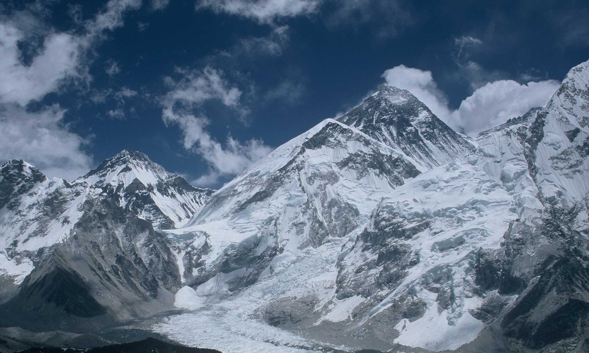
Nothing earthly is of eternal duration. Even mountains like Mount Everest change – for example through tectonic activities. After the devastating earthquake in Nepal in spring 2015, in which almost 9000 people died, there had also been speculations that the height of Everest might have changed due to the strong earth tremors. A new survey of the highest mountain on earth was due anyway, as several “official” heights existed. Today the governments of Nepal and China have jointly announced: Mount Everest is currently 8,848.86 meters high – and thus about a meter higher than officially set so far. This was based on the results of a Nepalese surveying expedition in spring 2019 and a Chinese one in spring 2020.
Paid with frostbite
The Nepalese chief surveyor Khim Lal Gautam and his colleague Rabin Karki had reached the summit of Everest together with Tshiring Jangbu Sherpa on 22 May 2019 – at night, because the two surveyors wanted to work undisturbed by other climbers. For two hours they measured the highest point on earth. Gautam, who had already scaled Everest in 2011, paid for the effort with frostbite. One of his toes had to be amputated afterwards.
On 27 May 2020 – during the only Everest expedition last spring – a Chinese survey team, ascending from the Tibetan north side, had reached the summit and worked for two and a half hours to remeasure the height.
Closer relations
The fact that the governments of Nepal and China now jointly announced the results of their expeditions was seen by both states in a declaration as a “sign of traditional friendship”. The economic relations between China and Nepal have become increasingly close in recent years. The number of Chinese vacationers in Nepal has also risen continuously.
In 2019 – in pre-corona times – China provided the second most visitors to Nepal with around 169,500 tourists. This represents 14.2 percent of all arrivals. Only from India (about 254,000 tourists; 21.4 percent) more tourists came to the Himalayan state. The Nepalese government has deliberately attracted Chinese people: since 2011, holidaymakers from China have not had to pay visa fees, unlike travellers from other countries. The number of Chinese mountaineers on expeditions to the world’s highest mountains has also increased in recent years.
Taking the average
Everest was measured for the first time in the middle of the 19th century – from India, because Nepal was closed for foreigners to enter at that time. The surveyors of the British colonial power used the method of triangulation, which was already used by the ancient Egyptians. In simple terms, the point to be surveyed is considered to be part of a triangle where the distance between the other two points is known. If you now determine the respective angle of view to the distant point from these two observation points, three sizes of the triangle are known: two angles, one edge length. The searched distance can be calculated. However, the greater the distance, the less accurate this method becomes.
For Everest, the heights calculated at six different locations in India – they varied by about ten meters – were averaged: to 29,002.3 feet or 8,839.9 meters. This was the altitude that the head of the British survey authority in India, Andrew Scott Waugh, reported to the Royal Geographic Society (RGS) in London on 1 March 1856.
“We have for some years known that this mountain is higher than any other hitherto measured in India, and most probably it is the highest in the world,” Waugh wrote, suggesting that this mountain, hitherto known as Peak XV, be named after his ex-chief George Everest. In September 1856, the RGS accepted the name Mount Everest.
With snow, without snow
Although there were some divergent recalculations, the altitude of 29,002 feet (8,840 meters) announced in 1856 remained official for almost a hundred years. This did not change until 1950, when Nepal opened up, making more accurate surveys possible. According to the measurements and calculations of the Indian surveyor Bihari Lal Gulatee, Mount Everest was officially declared 29,028 feet (8,848 meters) high in 1954.
In 1975, Chinese experts confirmed this height. In 1999, US scientists, who included GPS data for the first time, determined an altitude 8,850 meters. In 2005, Chinese surveyors announced a height of 8,844.43 meters – with the note that there were three and a half meters of snow on the rock, which again totaled 8,848 meters.


